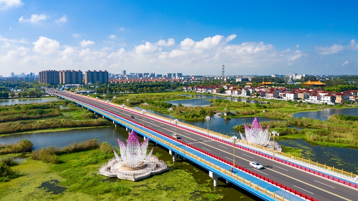

A view of Xinghua city. [Photo provided to etaizhou.gov.cn]
Geography
Xinghua city is a thriving and dynamic county level city administered by the prefecture-level city of Taizhou – located in the middle of East China's Jiangsu province, as well as in the central area of the Lixiahe plain.
It is adjacent to Dafeng district and Dongtai city in Yancheng city in the east, Jiangyan district in Taizhou city and Jiangdu district in Yangzhou city in the south, Gaoyou city and Baoying county in Yangzhou in the west and Yandu district in Yancheng in the north.
Xinghua's terrain is low and gentle, with a dense network of rivers. It has a total land area of 239,500 hectares.
History
Xinghua has a long history, which dates back to the Neolithic period – about 6,300 years ago – with traces of human habitation from the era found, according to archaeological evidence, on Yingshan hill in Linghu village.
During the Spring and Autumn Period (770-476BC) and the Warring States Period (475-221BC), it was the land of the Wu and Chu states. Xinghua became a county in the year 920.
In December 1987, Xinghua became governed by the prefecture-level city of Yangzhou. Subsequently, from 1996, Xinghua was administered by the newly established city of Taizhou.
Economy
Xinghua's GDP in 2023 reached 115.49 billion yuan ($16.22 billion), a year-on-year increase of 7.3 percent. Its foreign capital in actual use last year hit $118 million, a whopping year-on-year increase of 92.8 percent.

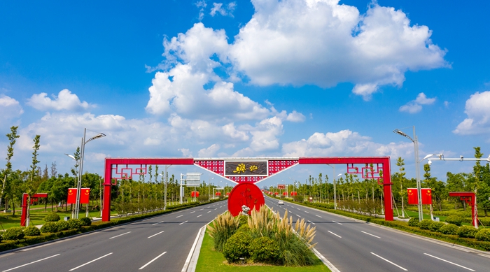
The portal frame of Xinghua city. [Photo provided to etaizhou.gov.cn]